
By Publisher Ray Carmen
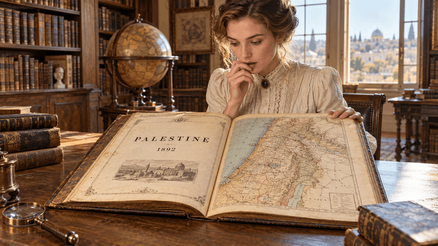
A viral video shows a woman astonished by a nineteenth-century book whose maps identify the land as Palestine. The social-media presentation is incomplete — but the historical evidence behind it is genuine, documented and far more interesting than the caption alone.
The discovery has raced across Facebook with an explosive message: a foreign woman opens a historical book from 1892, finds maps labelled “Palestine” and says she is shocked.
The clip has become popular because a single old page appears to cut through decades of argument. Yet to understand what it truly proves, the excitement must be separated from the evidence.
The woman’s identity and the precise book shown in every repost have not been reliably established. The phrase “Jewish-era historical book” is also unclear and potentially misleading.
What can be verified is that major nineteenth-century publishers produced maps and atlases explicitly titled “Palestine”, including a documented 1892 American volume now preserved in one of the world’s leading historical map collections.
THE ATLAS THAT SURVIVES
D. Appleton and Company’s Library Atlas of Modern Geography, published in New York in 1892, contains Map No. 31 headed simply “Palestine”.
The plate was copyrighted in 1891 and accompanied by descriptive text. It includes Jerusalem insets and records towns, roads, caravan routes, administrative divisions, ports, distances, fortifications and physical geography.
The David Rumsey Historical Map Collection catalogues the original atlas in detail, while a scan of the accompanying Palestine page is publicly preserved through Wikimedia Commons and the Internet Archive.
This is not a recent alteration, an activist graphic or a modern caption pasted onto an old page. It is an authentic nineteenth-century cartographic record.
WHAT THE WORD “PALESTINE” MEANT IN 1892
In 1892 the territory was governed by the Ottoman Empire; there was no sovereign State of Israel and no independent sovereign State of Palestine.
European and American geographers nevertheless used “Palestine” as a familiar historical and geographical name for the region. Its precise boundaries varied between maps, writers and periods, just as many historical regional names did.
The population was religiously and culturally diverse, including Arabic-speaking Muslims and Christians, Jewish communities with deep historical roots, and other groups.
The map therefore should not be treated as erasing Jewish history.
Equally, its existence makes it impossible to dismiss “Palestine” as a name invented only after Israel was created in 1948. The label was already standard enough to headline a mainstream American atlas more than half a century earlier.
WHAT THE MAP PROVES — AND WHAT IT DOES NOT
THE MAP DOES PROVE:
“Palestine” was an established geographical label in respected nineteenth-century atlases.
The name was used decades before the creation of Israel in 1948.
Publishers treated Palestine as a recognisable region worthy of its own map and text.
THE MAP DOES NOT BY ITSELF PROVE:
That a fully sovereign modern Palestinian state existed in 1892.
That every historical map used identical borders or political definitions.
That one antique map can settle every modern legal, national or territorial dispute.
WHY THE DISCOVERY FEELS SHOCKING
Many people encounter the history of the region through the political vocabulary of the present.
An old atlas can therefore feel like a message from another world.
The surprise is not that historians know the name Palestine was used — that is well documented — but that ordinary readers may never have been shown how routinely it appeared in atlases, travel books, biblical geographies and diplomatic writing.
The most powerful part of the viral moment is not the woman’s reaction.
It is the page itself.
Paper, ink and a publication date offer something social media rarely provides: a primary object that can be examined, catalogued and compared with other records.
THE WORLD OF 7 VERDICT
The Facebook headline is sensational, but its central image rests on a real historical truth.
Atlases published in 1892 did label the region Palestine.
That fact neither erases the ancient Jewish connection to the land nor decides the borders and sovereignty questions of today.
It does, however, expose the false idea that the name Palestine appeared from nowhere in the twentieth century.
Sometimes history does not shout. It waits quietly on a library shelf until someone opens the book.
REPORTING BASIS
• David Rumsey Historical Map Collection — Appleton 1892 map of Palestine
• Wikimedia Commons catalogue record for the 1892 Appleton Palestine text page
• Geographicus — documentation of a separate 1892 Rand McNally Palestine map